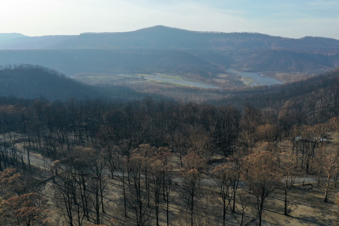
Aerial of burnt forest near Kangaroo Valley, NSW
| File information | File dimensions | File size | Options |
Original JPG File | 5472 × 3648 pixels (19.96 MP) 46.3 cm × 30.9 cm @ 300 PPI |
8.2 MB | Download |
WebRes - Landscape | 900 × 600 pixels (0.54 MP) 7.6 cm × 5.1 cm @ 300 PPI |
137 KB | Download |
Orientation
Landscape
Date Taken
2020-01-22
Date Uploaded
2020-07-21
Keywords
bushfires; animals impacted; black summer; burnt forests; koala; drone; reptiles; echidna; wombat; goanna; snake; kangaroo valley
Location
Kangaroo Valley, NSW
Camera make / model
L1D-20c
Image size
5472x3648
Caption/Description
Aerial of burnt forest near Kangaroo Valley, NSW.
Over 2019-2020, Australia experienced its worst fire season on record in its expansive forest and woodland estate. More than 15,000 fires occurred across all states, resulting in a combined impact area of up to 19 million hectares with around 12.6 million hectares containing primarily forest and woodland burning. Within the 12.6 million hectares of burned area that we assessed, there would have been almost 3 billion native animals.
Credit
© WWF-Australia / Douglas Thron
Rights Restrictions
General Restrictions
Public: MEDIA: Regenerate Australia

